
|
|
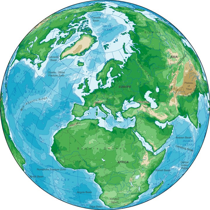
Topographic Map Of Europe
The continent of Europe, extending from the Arctic Circle in the north to
the Mediterranean Sea in the south, is a land of varied topography.
Its geography ranges from icy tundra along the Barents Sea to mountainous
regions in south central Europe, lush farmland extending from France
in the west to the Ukraine in the east, and subtropical areas along the
southern border. Major European islands include Great Britain,
Ireland, and Iceland as well as Mediterranean islands such as Cyprus,
Crete, and Sicily. The Caspian Sea, Baltic Sea, and North Sea
are all relatively shallow bodies of water compared to the Black Sea
and the Mediterranean Sea.
Europe's highest point is Russia's Mount Elbrus, which rises to 18,510
feet above sea level. The surface of Russia's Caspian Sea, at 90
feet below sea level, is Europe's lowest elevation.
Europe Topographical Map
 |
Topographical Map Of Europe
|
|